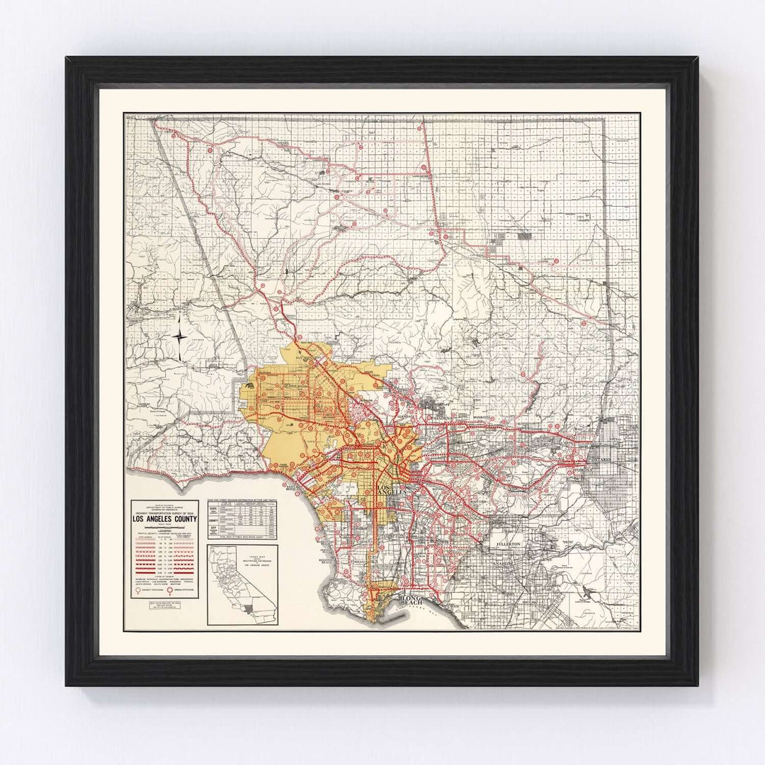
Antique Map of Los Angeles County, California from 1935
- Free Shipping on orders over $99
- In stock, ready to ship
- Backordered, shipping soon
A Brilliant Cartographic Chronicle of Southern California’s Golden Age
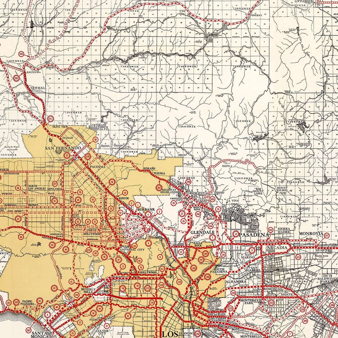
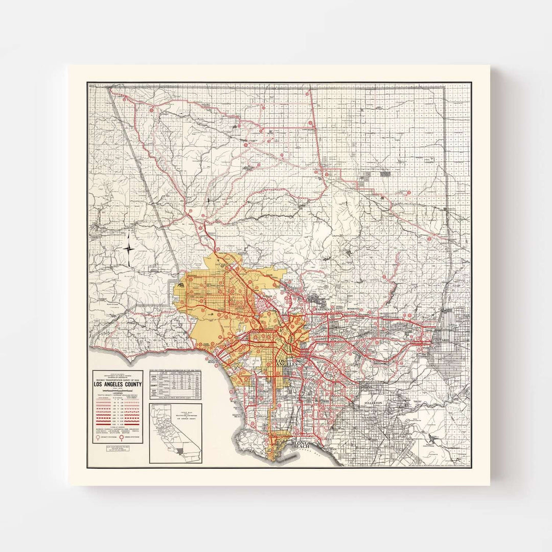
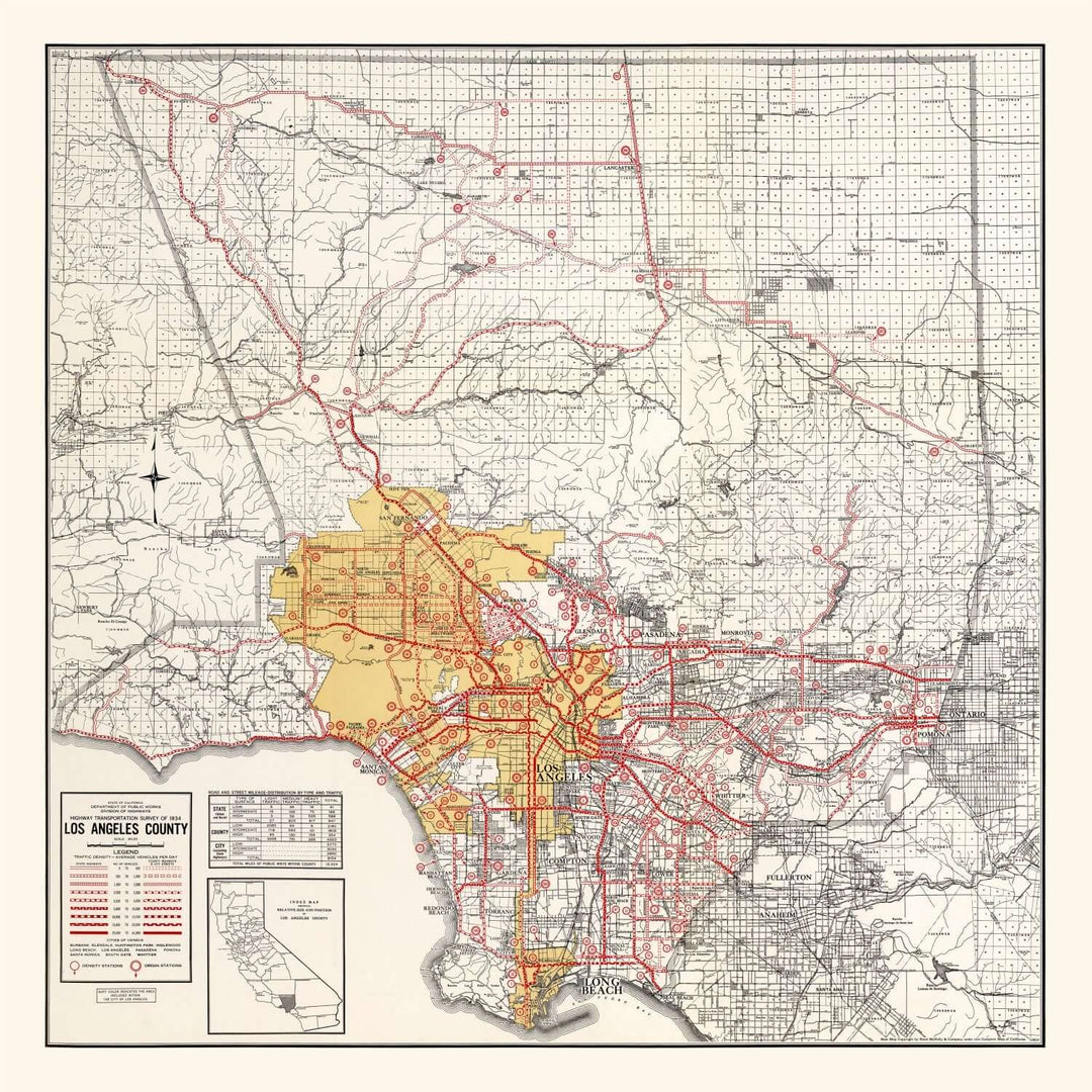
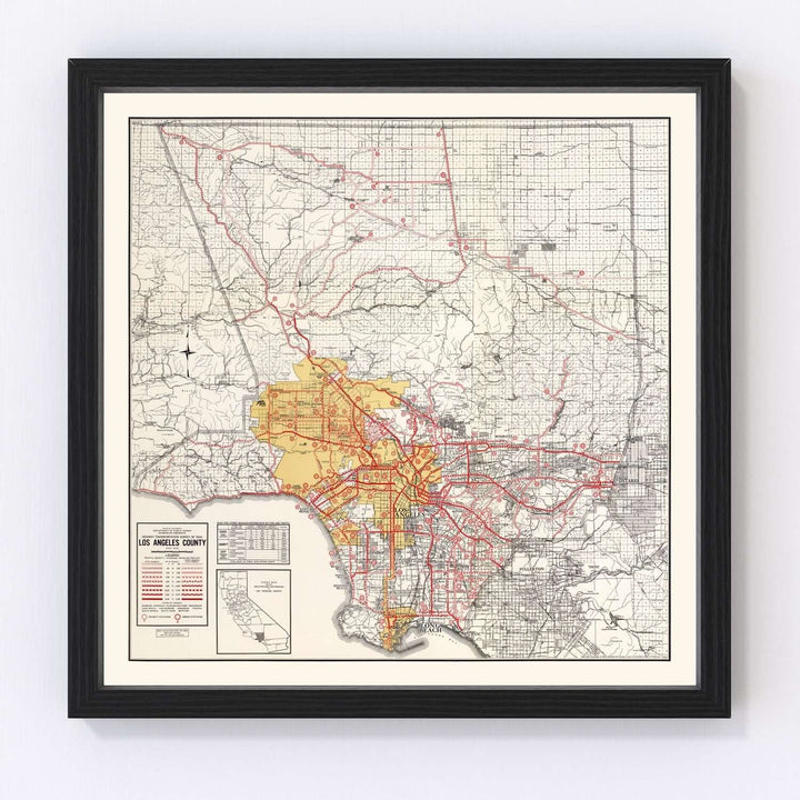
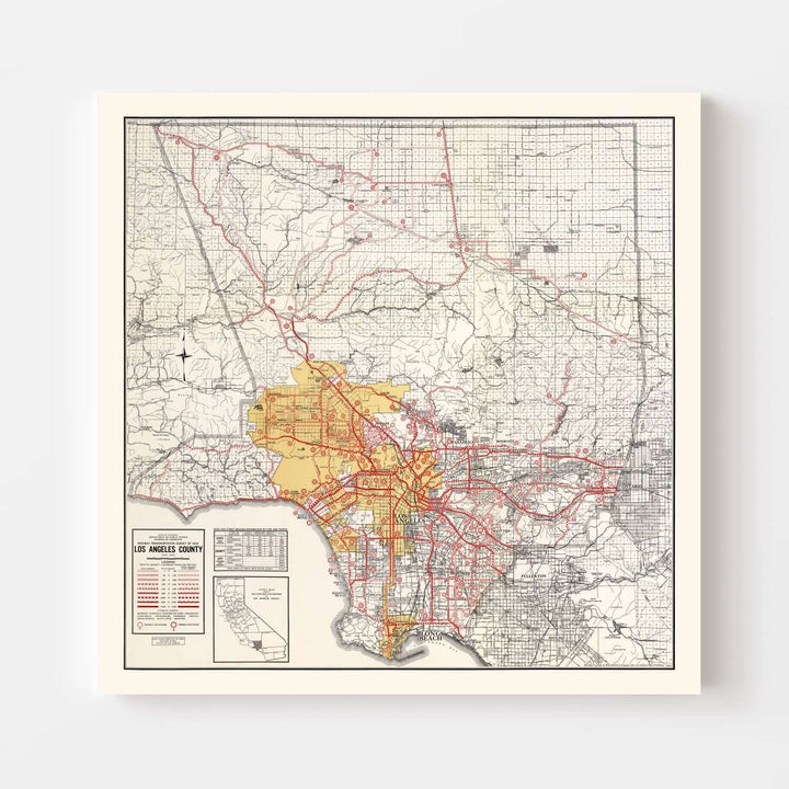
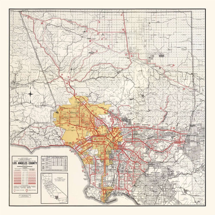
The Antique Map of Los Angeles County, California from 1935 captures an extraordinary moment in Southern California’s history — when the county was expanding rapidly, its once-sleepy coastal towns transforming into thriving urban centers. This beautifully restored map, originally produced during the golden interwar years, reflects not only geography but also ambition: the intricate web of roads, railways, and cities that connected an evolving cultural landscape under the bright California sun.
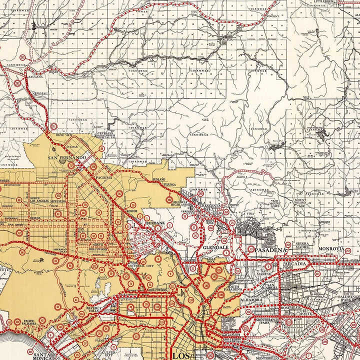
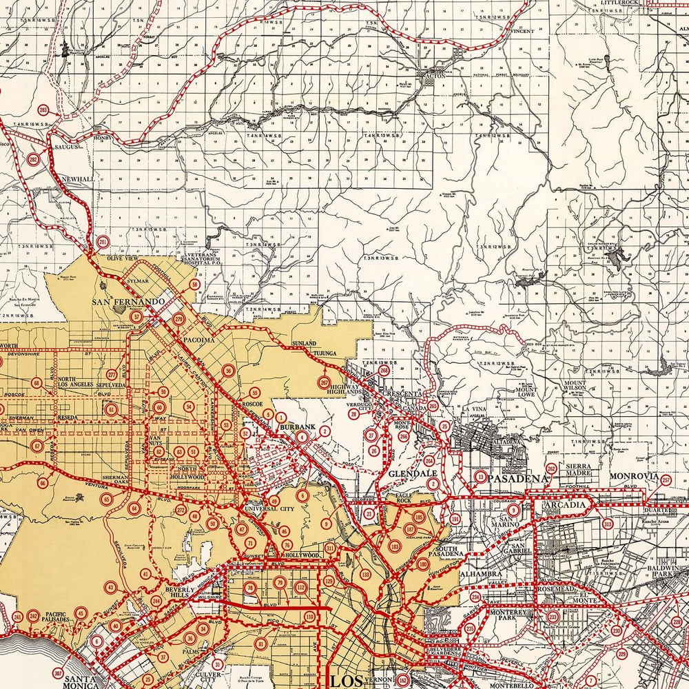
At first glance, the composition commands attention — a complex, beautifully rendered balance of precision and artistry. The muted parchment tones contrast elegantly with the red route lines and the golden highlight of the Los Angeles metropolitan area. Each mark, symbol, and legend tells a story: the expansion of the highway system, the steady sprawl of residential development, and the proud distinction of the region’s coastal and mountain boundaries. This Antique Map of Los Angeles County is more than a chart of roads and towns — it’s a love letter to an era when craftsmanship defined cartography and discovery still lay at the heart of travel.
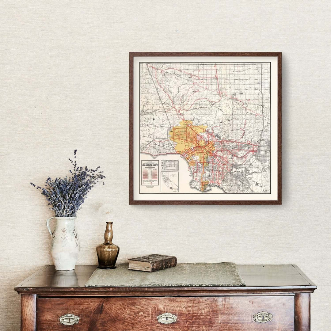
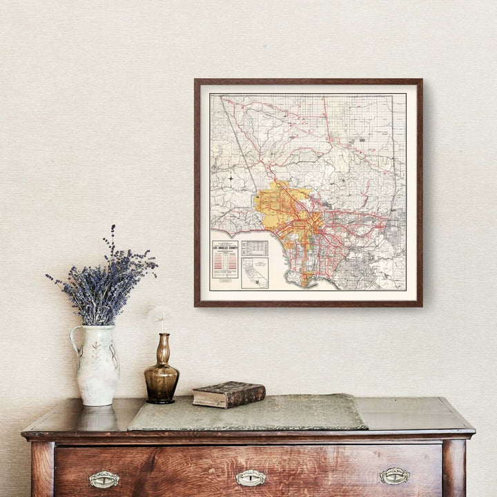
The aesthetic feels at home in interiors inspired by vintage design — light, refined, and full of organic warmth. The map’s soft cream background and delicate typography harmonize beautifully with natural textures like linen, oak, and brass. Its detailed red lines evoke both energy and nostalgia, the perfect visual rhythm for spaces that blend modern simplicity with vintage sophistication. Hung above a writing desk, in a sunlit study, or in a collector’s gallery wall, it becomes a focal point that exudes both intellect and elegance.
Each reproduction is meticulously restored and printed using museum-grade materials. Every line and letter from the original 1935 edition has been digitally enhanced with reverence for its historical integrity. Archival pigment inks ensure the map retains its clarity and color balance for generations to come. Choose between fine art matte paper for a clean, classic look or premium polycotton canvas for added depth and texture. Framed editions feature solid hardwood molding — hand-stained in walnut, espresso, or satin black — with protective acrylic glazing to preserve its artistry. Canvas versions are stretched by hand over kiln-dried wooden bars, lending the piece a subtle, gallery-like presence.
This Antique Map of Los Angeles County reflects a pivotal period when the county’s identity was still taking shape. The growing arteries of the Pacific Electric Railway and the emerging highway routes are drawn with exquisite detail, weaving through the agricultural valleys and along the Pacific coastline. Cities like Los Angeles, Pasadena, and Long Beach pulse at the map’s heart, surrounded by the quieter expanses of farmland and desert that hint at the region’s vast potential.
One can almost feel the hum of that era — the distant sound of streetcars gliding down sunlit boulevards, the scent of citrus groves carried on warm breezes, and the sense of excitement that came with progress and possibility. This map doesn’t simply document geography; it evokes the spirit of Southern California itself — optimistic, enterprising, and ever-evolving.
It makes an extraordinary gift for historians, cartography enthusiasts, or anyone whose story is tied to the Los Angeles region. For those who love the intersection of art and heritage, this vintage map serves as both a visual statement and a conversation piece. Whether given as a housewarming heirloom or displayed proudly as part of a curated collection, it symbolizes continuity — a bridge between memory and modernity.
The Antique Map of Los Angeles County, California from 1935 embodies the union of precision and poetry. Every intersection and contour tells of human ingenuity and artistic grace. To own it is to preserve a moment in the ever-unfolding narrative of California’s legacy.
Design Features
-
Faithful reproduction of the 1935 Los Angeles County Road and Transit Map
-
Restored archival detailing for enhanced legibility and balanced color
-
Available framed in solid hardwood or unframed on museum-grade matte paper
-
Canvas edition printed on premium polycotton and stretched over wooden bars
Color Palette
-
Soft parchment ivory background
-
Vibrant red for major routes and boundaries
-
Warm golden-yellow highlighting metropolitan Los Angeles
-
Charcoal-gray typography and contouring
Condition Notes
-
Newly produced archival reproduction from 1935 original
-
Subtle texture variations maintain authentic antique character
-
Handcrafted frame and mounting to museum-quality standards
Origin & Construction
-
Original map published in Los Angeles County, 1935
-
Digitally restored and printed in the USA using archival pigment inks
-
Frames crafted from sustainably sourced hardwood with protective glazing
Dimensions
-
Available in multiple standard sizes (example: 24" × 30")
- FREE for orders over $99.
- Timeframe is 1–5 business days.
- Within the US only, except for HI and AK.
- Some larger items ship via LTL truck freight, and depending on the shipping address, can take longer to arrive.
- Once the items ship, you will receive a tracking number.


