Antique Map of Savannah, Georgia from 1794
- Free Shipping on orders over $99
- In stock, ready to ship
- Backordered, shipping soon
A Rare Cartographic Record of the Colonial South’s Historic Port City
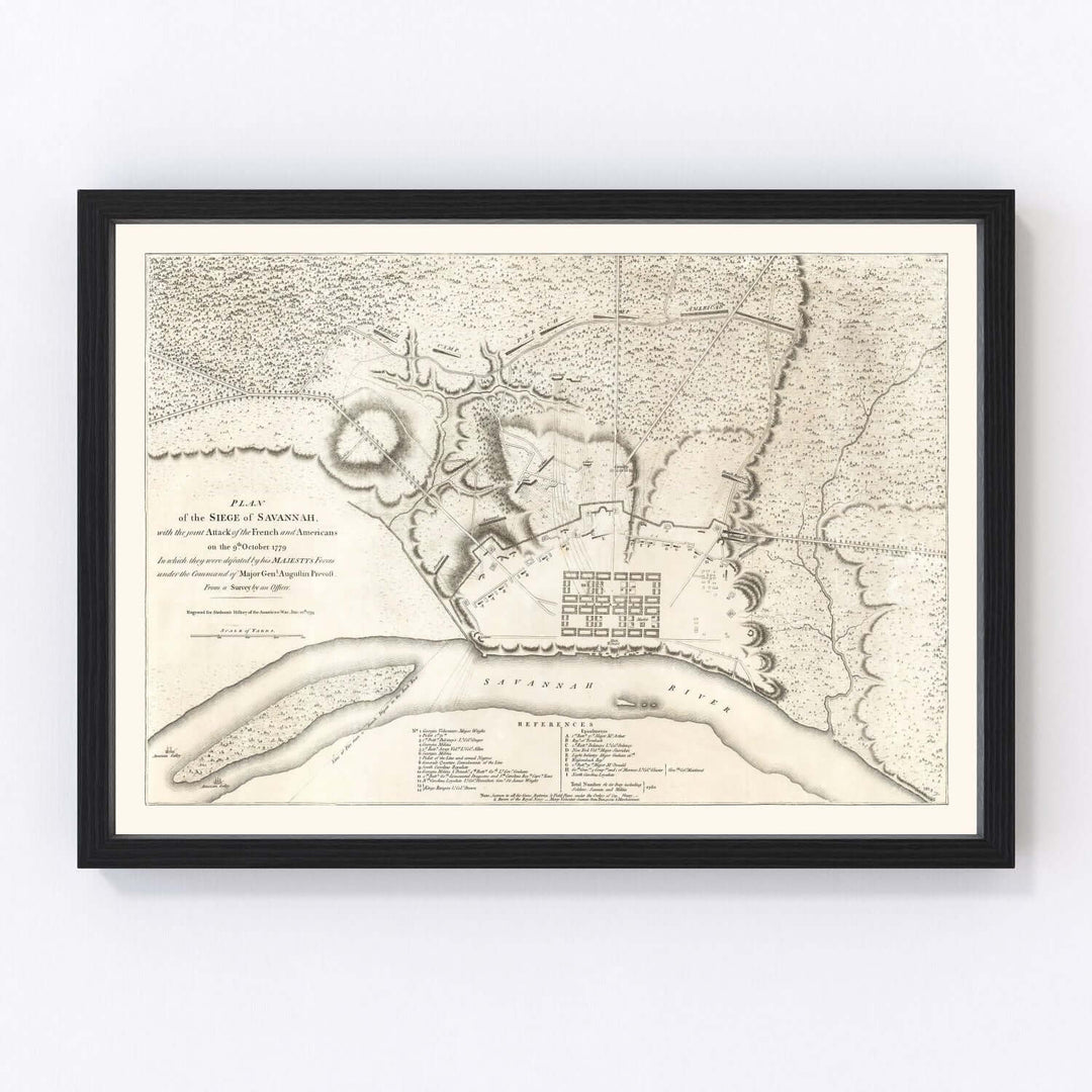
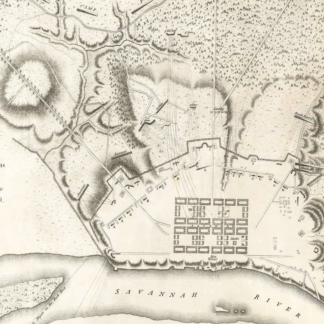
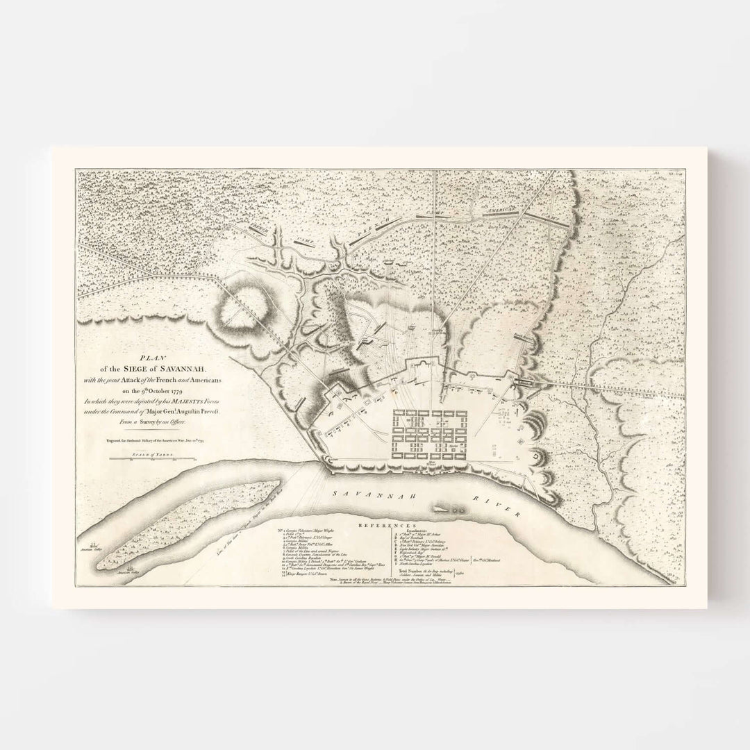
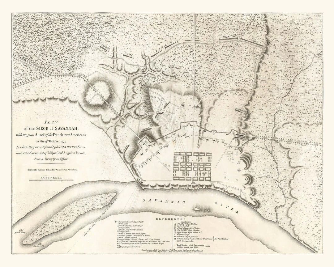
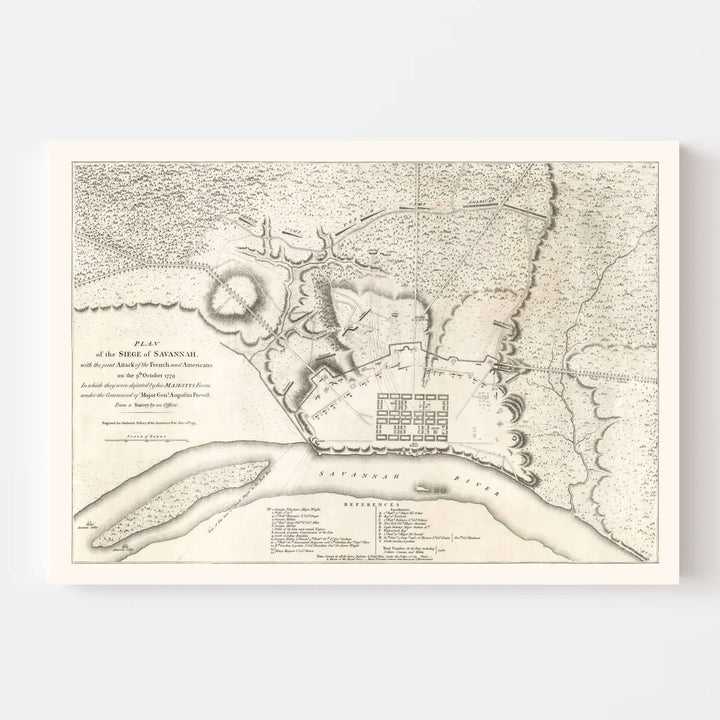
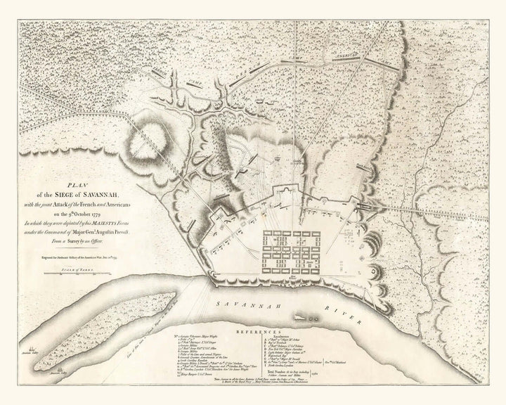
The Antique Map of Savannah, Georgia from 1794 stands as a remarkable testament to both artistry and resilience — a window into one of America’s earliest and most storied cities. Originally drawn less than two decades after the Revolutionary War, this extraordinary map captures the geometry and grace of Savannah’s original grid, conceived by General James Oglethorpe, and the fortifications that once defined its colonial edge. Each delicate line and measured contour whispers of an age when the South was young, ambitious, and full of promise.
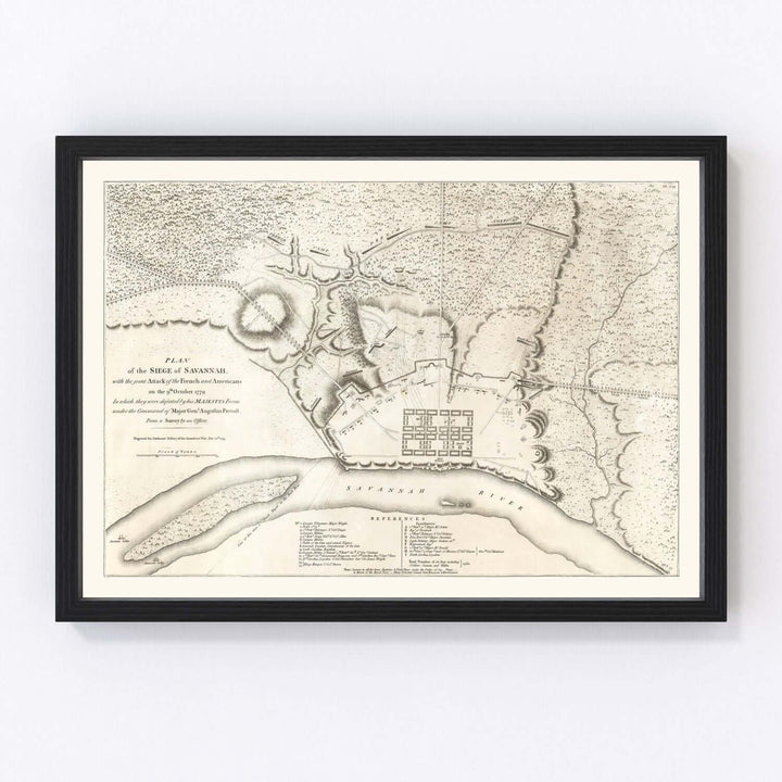
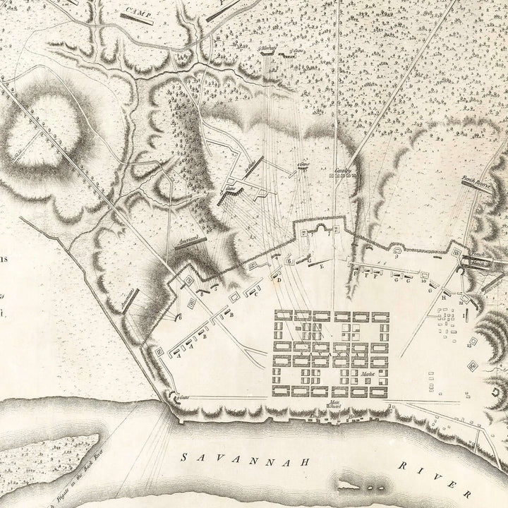
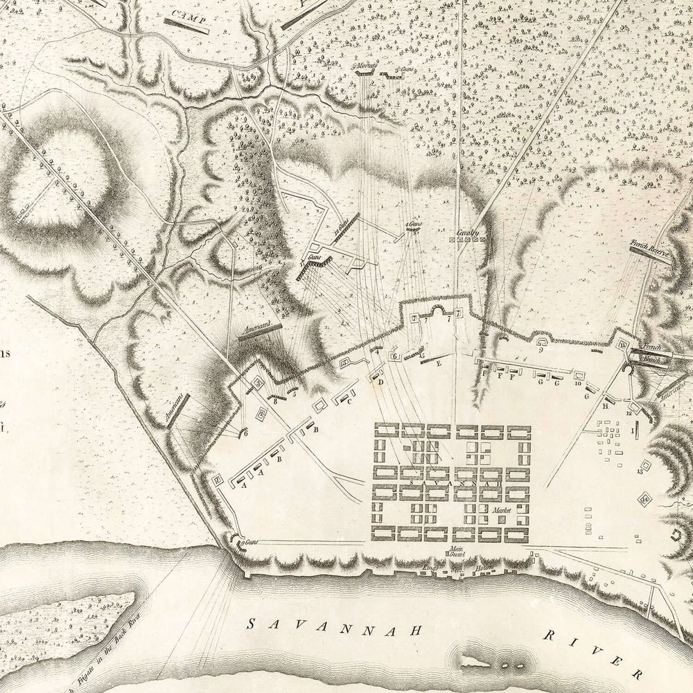
This vintage map, titled Plan of the Siege of Savannah, not only portrays the city’s early streets but also bears the traces of one of the defining moments in its history: the 1779 siege during the American Revolution. It is both a work of geography and a work of memory — charting the city’s fortified boundaries, the surrounding marshlands, and the slow, winding current of the Savannah River. The artistry lies in its dual nature: a technical military plan and a lyrical depiction of a place deeply rooted in the American story.
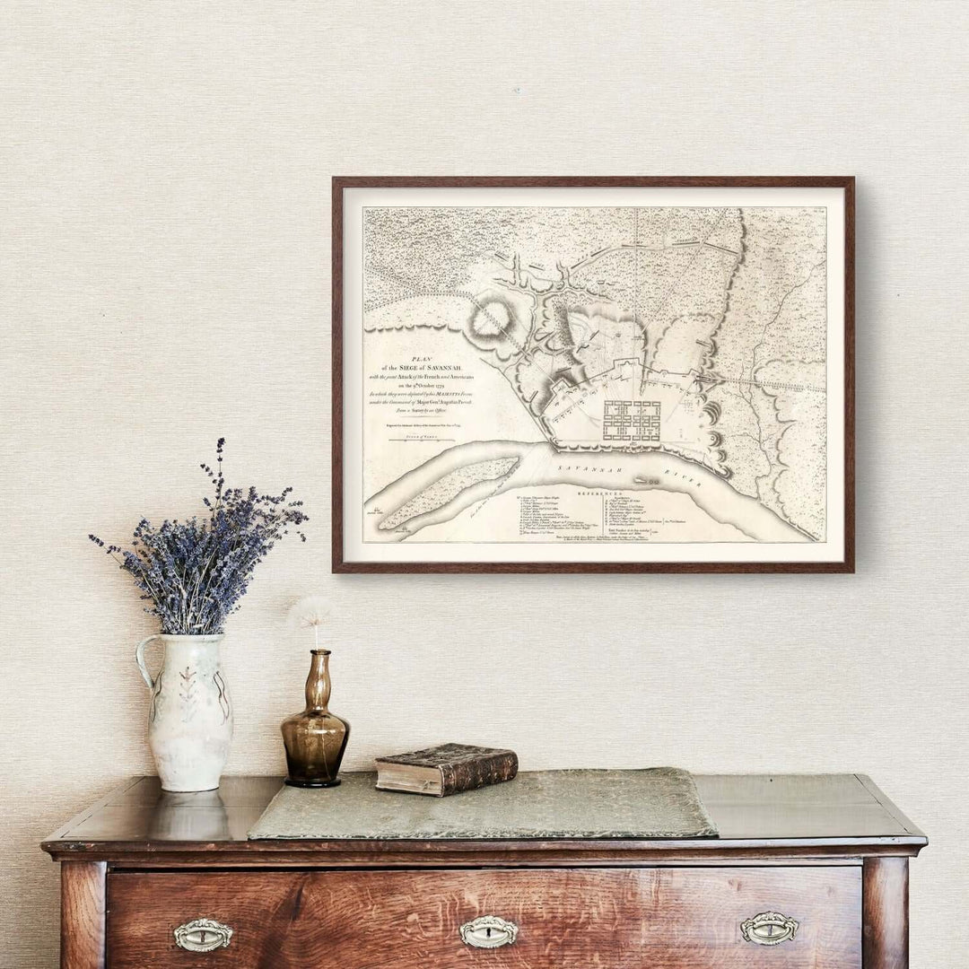
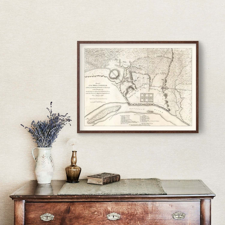
The Antique Map of Savannah perfectly captures the stately charm of Vintage Southern interiors — warm, dignified, and steeped in a sense of history. Its restrained palette of sepia, parchment ivory, and soft graphite harmonizes beautifully with timeworn woods, brass accents, and neutral textiles. Whether hung above a mantel, in a library, or as the focal point of a refined sitting room, it brings a sense of timeless Southern elegance to any space.
Each reproduction is meticulously restored from original archival material, preserving the authenticity of its engraved texture while enhancing legibility and contrast for the modern eye. Every detail — from the winding topography of the riverbank to the structured geometry of Savannah’s original city plan — is rendered with museum-grade precision. Printed using archival pigment inks on acid-free matte paper or polycotton canvas, this map is designed to endure, its tones remaining rich and luminous for generations.
Framed editions are encased in solid hardwood, hand-stained in a dark walnut or black finish that accentuates the refined contrast of the print. Each frame is carefully assembled by skilled artisans, featuring protective acrylic glazing and acid-free backing for long-term preservation. Canvas editions, stretched over kiln-dried wooden bars, offer a tactile depth that feels both historic and handcrafted — the perfect fusion of art and artifact.
Beyond its visual beauty, the Antique Map of Savannah tells a story of endurance. The city it portrays has weathered war, fire, and time, yet remains one of America’s most enchanting urban landscapes. One can almost imagine the humid air along the riverbanks, the echo of soldiers’ footsteps through Oglethorpe’s squares, and the faint rustle of live oaks draped in Spanish moss. To study this map is to feel the pulse of a city that has always lived gracefully between past and present — a city that has never forgotten its roots.
This piece makes an extraordinary heirloom or gift for lovers of American history, Southern culture, or the quiet poetry of vintage cartography. It embodies both intellect and emotion — the curiosity of the historian, the sensitivity of the artist, and the warmth of home. To give it is to offer not merely décor, but remembrance; to own it is to hold a fragment of history, exquisitely preserved.
Each restoration honors the craftsmanship of the original engraver, ensuring that no line, letter, or contour is lost to time. The composition — with its balanced proportions, clear labeling, and decorative flourishes — remains as elegant today as it was more than two centuries ago. When displayed, it draws the viewer inward, inviting contemplation and conversation alike.
Design Features
-
Faithful reproduction of the 1794 Plan of the Siege of Savannah
-
Restored archival detailing with enhanced clarity and balanced tone
-
Handcrafted hardwood frame with museum-quality acrylic glazing
-
Available on matte fine art paper or polycotton canvas
Color Palette
-
Aged parchment ivory
-
Soft graphite linework and gentle sepia shading
-
Subtle charcoal contouring with warm undertones
Condition Notes
-
Newly produced archival reproduction from 1794 engraving
-
Minor texture and tonal variations enhance authentic vintage character
-
Frame and mounting crafted to museum standards
Origin & Construction
-
Original map drawn in 1794; published in London
-
Restored and printed in the USA using archival pigment inks
-
Frames made from sustainably sourced hardwood
Dimensions
-
Available in multiple standard sizes (example: 24" × 36"),
- FREE for orders over $99.
- Timeframe is 1–5 business days.
- Within the US only, except for HI and AK.
- Some larger items ship via LTL truck freight, and depending on the shipping address, can take longer to arrive.
- Once the items ship, you will receive a tracking number.


